Cross-border long-distance trail · Accursed Mountains / Prokletije
Peaks of theBalkans
ALAlbaniaXKKosovoMEMontenegro
A 192 km loop of old shepherd paths, high passes and summer villages through the Accursed Mountains, crossing the borders of three countries on foot. Ten stages, a border permit in your pocket, and a guesthouse dinner at the end of each day.
Book a guided trip at thebalkantrail.com →See the 10 stages
192
kilometres, circular
3
countries, 3 border crossings
10
classic stages (8–12 days)
≈10k
metres of ascent (9,800–11,500 m)
2,290
m, highest point on the loop
Jun–Sep
main hiking season
A trail built to open borders
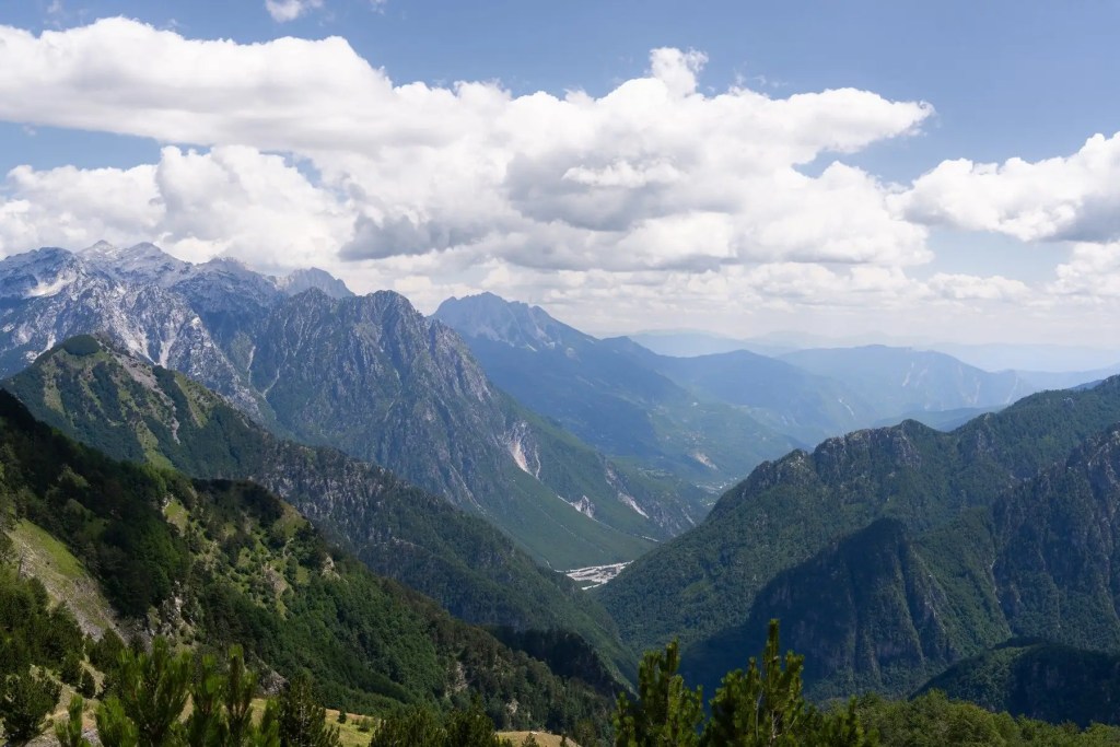
The Peaks of the Balkans (PoB) runs through the Prokletije range, known in Albanian as Bjeshkët e Nemuna and in English as the Accursed Mountains. It is the southern end of the Dinaric Alps: a knot of jagged limestone peaks, glacial valleys and high summer pastures where Albania, Kosovo and Montenegro meet.
For most of the 20th century this was a closed frontier. Under Albania’s communist regime the border zone was a forbidden military area, and after the Yugoslav wars the region stayed remote and poor. Hikers walking the trail today still pass old bunkers and abandoned border posts, especially on the stage from Vusanje back to Theth.
Around 2009, roughly ten years after the wars, the German development agency GIZ and local partners from all three countries started planning a cross-border hiking route. It was provisionally called the “Peace Trail”. Teams linked existing shepherds’ and smugglers’ paths, put up signposts and red-and-white waymarks, mapped the route and, most importantly, agreed a procedure with the three border police forces so hikers could legally cross the mountain borders on foot.
GIZ reports the official opening in 2011. Germany’s BMZ funded the project until 2012, after which GIZ continued with the German Alpine Club (DAV) until 2015. Today the trail is maintained by local authorities, associations and the guesthouse families who live along it. The trail has also been recognised internationally, including with a World Travel and Tourism award.
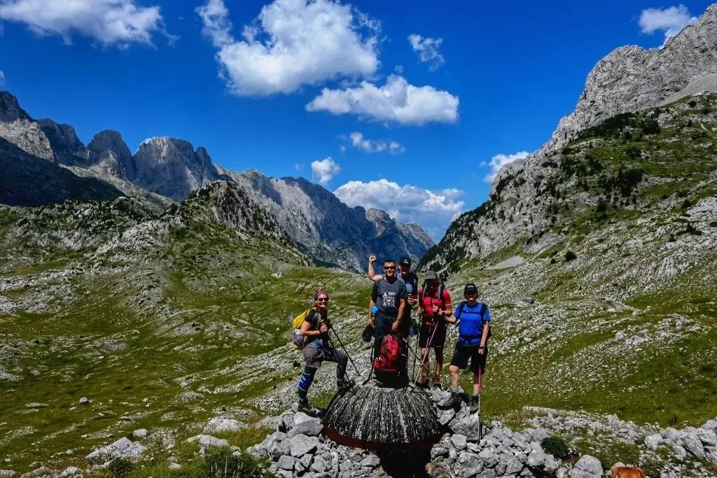
43,000+
hikers counted by a sensor on the Theth–Valbona section between July and November 2024.
€25M
yearly revenue from hiking tourism in the region, of which about €16M stays local.
1,380
full-time jobs supported, many in family-run guesthouses, guiding and dairy farming.
≈300
visitors a month at a single guesthouse such as the Triangle Woodhouse in peak season.
Figures as reported by GIZ
- 1944–1991Albania’s mountain border is a sealed military zone; crossing is illegal and the region is cut off.
- 1998–1999Kosovo war. The border region stays isolated and economically fragile for years afterwards.
- ≈2009GIZ, tourism advisers and stakeholders from the three countries start designing a cross-border “Peace Trail”.
- 2011Official opening of the Peaks of the Balkans, with a border-permit procedure agreed between the three police forces.
- 2012–2015Direct BMZ funding ends; GIZ continues with the German Alpine Club under the develoPPP programme.
- 2017Ancient beech forests in the Gashi river valley near Dobërdol are added to the UNESCO World Heritage listing of primeval beech forests of Europe.
- 2018 →A wave of new family guesthouses opens, especially on the Montenegrin side around Gusinje and Vusanje.
- 2024Over 43,000 hikers cross the Valbona Pass in a single season.
The classic 10-stage loop
The loop can be started anywhere, but most hikers begin in Theth (Albania) and walk anticlockwise: over the Valbona Pass, east into the high pastures of Dobërdol, across into Kosovo’s Rugova highlands, west into Montenegro around Plav and Gusinje, and back over the Peja Pass to Theth. Select a stage to see it on the map.MONTENEGROKOSOVOALBANIAPeja / Rugova Gorge12345678910ThethValbonëÇeremDobërdolMilishevcReka e AllagësKuqishtëBabino PoljePlavVusanjeValbona Pass 1,795Peja Pass 1,711
Schematic map, positions approximate. Dashed line: optional side trip to Peja and the Rugova Gorge. Country labels indicate general areas, not exact borders.1Theth → Valbonë13.9 km≈7 hALClimb through beech forest to the Valbona Pass (1,795 m), with cafés serving honey tea on the way up. Steep descent on scree and a riverbed track into the glacial Valbona valley. Popular stay: Guesthouse Demushi.2Valbonë → Çerem19.8 km≈7 hAL3Çerem → Dobërdol15.7 km≈6 hAL4Dobërdol → Milishevc18.2 km8–9 hAL→XK5Milishevc → Reka e Allagës16.2 km≈7 hXK6Reka e Allagës → Kuqishtë23.5 km8–9 hXK7Kuqishtë → Babino Polje15.8 km≈6 hXK→ME8Babino Polje → Plav20.3 km≈7 hME9Plav → Vusanje27.5 km≈8 hME10Vusanje → Theth21.4 km≈7 hME→AL
Stage table
| # | From → To | Country | km | Hiking time | Border |
|---|---|---|---|---|---|
| 1 | Theth → Valbonë | AL | 13.9 | ≈7 h | |
| 2 | Valbonë → Çerem | AL | 19.8 | ≈7 h | |
| 3 | Çerem → Dobërdol | AL | 15.7 | ≈6 h | |
| 4 | Dobërdol → Milishevc | AL→XK | 18.2 | 8–9 h | permit |
| 5 | Milishevc → Reka e Allagës | XK | 16.2 | ≈7 h | |
| 6 | Reka e Allagës → Kuqishtë | XK | 23.5 | 8–9 h | |
| 7 | Kuqishtë → Babino Polje | XK→ME | 15.8 | ≈6 h | permit |
| 8 | Babino Polje → Plav | ME | 20.3 | ≈7 h | |
| 9 | Plav → Vusanje | ME | 27.5 | ≈8 h | |
| 10 | Vusanje → Theth | ME→AL | 21.4 | ≈7 h | permit |
| Total loop | AL · XK · ME | ≈192 | ≈71–73 h | 3 crossings |
Distances and times per the PoB stage guide; other sources differ by a few km. Stage ends can be shifted, and many hikers use short transfers to skip asphalt sections in Kosovo.
Distance per stage
1. Theth → Valbonë13.9 km
2. Valbonë → Çerem19.8 km
3. Çerem → Dobërdol15.7 km
4. Dobërdol → Milishevc18.2 km
5. Milishevc → Reka e Allagës16.2 km
6. Reka e Allagës → Kuqishtë23.5 km
7. Kuqishtë → Babino Polje15.8 km
8. Babino Polje → Plav20.3 km
9. Plav → Vusanje27.5 km
10. Vusanje → Theth21.4 km
Highlights along the way

Theth · AL · ≈750 m
Theth village
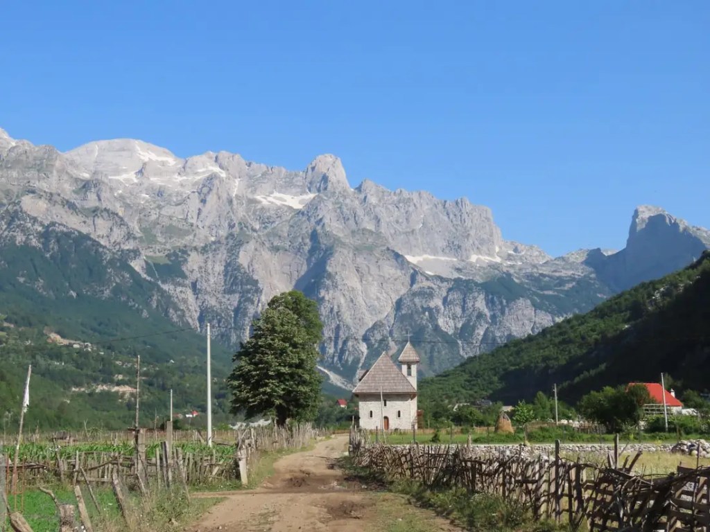
The trailhead and spiritual home of the route: a wide valley ringed by limestone walls, the stone church, the old kulla lock-in tower where men hid during blood feuds, the Grunas waterfall and the turquoise Blue Eye of Theth.

Valbona Pass · AL · 1,795 m
Valbona Pass
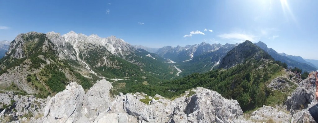
The most famous day hike in Albania: beech forest, scree switchbacks and a saddle with views back to Theth and down into the Valbona valley, with Maja Jezercë (2,694 m) on the skyline.

Dobërdol · AL · ≈1,750 m
Dobërdol
A shepherds’ summer village only reachable on foot or by rough 4×4 track, close to the tri-border point. Horses and sheep graze free in the bowl; in winter snow can lie four metres deep.

Three-border area · AL/XK/ME
Tri-border ridge
A climb from Dobërdol leads to the point where Albania, Kosovo and Montenegro meet, followed by kilometres of open ridge walking. Ali Pasha Pass looks into all three countries.

Hrid Lake · ME · ≈1,970 m
Hrid Lake
Called the “lake of happiness”, a glacial lake in pine forest above Babino Polje, often combined with long ridge walks toward Plav.

Vusanje & Gusinje · ME
Vusanje valley
Grlja waterfall, the Ali Pasha springs near Gusinje, the Ropojana valley and a string of family guesthouses. The village sits at the foot of the Karanfili peaks.

Ropojana & Peja Pass · ME/AL · 1,711 m
Ropojana & Qafa e Pejës
The wildest stage: once a forbidden border zone, now a walk past Ropojana Lake and old border posts to the Peja Pass, then a steep, rocky descent into Theth.

Rugova highlands · XK
Rugova highlands
Kosovo’s high plateau of A-frame huts, katuns and dairy farms around Milishevc, Reka e Allagës and Drelaj. A short detour leads down the Rugova Gorge to Peja.

Peja · XK · side trip
Patriarchate of Peć
The 13th-century Serbian Orthodox monastery complex on the edge of Peja is a UNESCO World Heritage site and an easy rest-day visit from the trail.
Summits within reach
2,694 m
Maja Jezercë
Highest peak of the Accursed Mountains (AL), seen from the Valbona Pass
2,656 m
Gjeravica
Kosovo’s highest point; side trip from Dobërdol past Gashi Lake
2,534 m
Zla Kolata
Montenegro’s highest peak; detour from the Valbona–Çerem high route
2,218 m
Maja e Harapit
Optional side summit on the Vusanje–Theth stage
When to go
The mountain season is short. Guesthouses in the high villages (Çerem, Dobërdol, Milishevc) are only open in summer, and the passes above 1,700 m can hold snow well into June.
Jan
Feb
Mar
Apr
May
Jun
Jul
Aug
Sep
Oct
Nov
Dec
BestGood, busyExperienced hikers onlyNot recommended
Mid JuneWildflowers peak, clear passes from mid-month, fewer people. Snow patches on north-facing slopes are normal early on.
July – AugustBusiest months. Warm to hot in the valleys, guesthouses sell out weeks ahead, blueberries along the trail. Afternoon thunderstorms are common.
SeptemberMany hikers’ favourite: stable weather, cooler days, autumn colour starting. Some high huts close toward the end of the month.
May & OctoberPossible for experienced, well-equipped hikers. Expect snow on the passes; in May 2023 two hikers died on the Valbona Pass in winter conditions.
Border crossing permits
Required
You cross 3 borders away from any checkpoint
The loop crosses mountain borders that have no border post. To do that legally you need a permit from the border police of each country, stating where, on which date and roughly at what time you will cross. Permits are issued by email; carry a printed copy and your passport.
AL → XKStage 4, Dobërdol → Milishevc
XK → MEStage 7, Kuqishtë → Babino Polje
ME → ALStage 10, Vusanje → Theth (Peja Pass)
Crossings depend on your exact routing and variants
How to get them
- Fix your itinerary first: date and place of every crossing.
- Apply through a local agency or your guesthouse network. Applying directly to three police forces is possible but slow and not guaranteed.
- Send a passport copy for every hiker, plus the dates and places of each crossing.
- Apply early: at least 2–3 weeks ahead, and 4–5 weeks ahead for July and August.
- Print the permits, keep a photo on your phone, and carry your passport (non-EU hikers need a passport, not an ID card).
Only Montenegro charges a fee for the permit; the amount changes each year. Agencies typically charge €20–25 for one person, with lower per-person rates for groups. Hikers caught without a permit can be taken to a police station and fined.
On The Balkan Trail and most guided or self-guided packages, the permits are arranged for you.
Getting there, sleeping, eating
Getting there
- Fly to Tirana (TIA). Low-cost carriers such as Wizz Air, Ryanair and Transavia fly there; budget about €250–350 return from Western Europe.
- Tirana → Shkodër: about 2 h by bus, many daily departures.
- Shkodër → Theth: shared minibus (furgon) in the morning, 2–3 h on the now-paved mountain road; private transfers available.
- Tirana → Theth direct: 4–5 h by transfer.
- Scenic alternative: Koman Lake ferry to Fierza, then furgon to Valbona, and start there.
- Other entry points: Peja (Kosovo) and Plav/Gusinje (Montenegro), both reachable by bus from Prishtina or Podgorica.
Sleeping
- Family guesthouses in every stage village; no tent needed if you sleep indoors.
- Theth and Valbona have dozens of guesthouses; Çerem, Dobërdol and Milishevc only a handful, open in summer.
- Rooms are simple, often shared; electricity in remote huts may come from a generator in the evening.
- Plav and Peja have hotels and shops.
- Book ahead for July and August.
- Camping is possible on guesthouse grounds, which is how The Balkan Trail does it.
Eating & money
- Half board (bed, dinner, breakfast) is the norm, usually €25–35 pp; packed lunches can be ordered.
- Expect fresh cheese, yoghurt, flija and byrek, beans, grilled meat, honey and homemade raki.
- Independent budget: around €35–50 a day for bed and meals, €450–650 for 10 days, excluding transport and gear.
- Cash only in the mountains: carry euros and some Albanian lek. ATMs are in towns like Shkodër, Peja, Plav and Gusinje, not in the villages.
- There are no supermarkets on the trail, only a few cafés and huts.
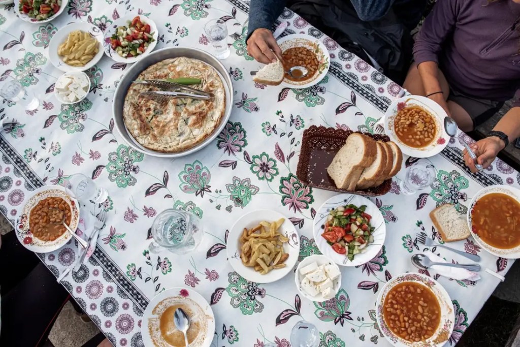
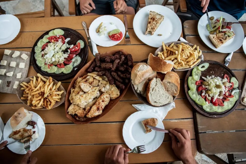
Luggage transfer exists: horses or 4x4s can carry your main bag from village to village, so you only walk with a daypack. Most guesthouses can arrange it for a fee, and The Balkan Trail offers it as an option (max 12 kg per bag for the horses).
Three ways to hike it
Independent
Plan it yourself
Cheapest and most flexible, but you handle everything.
- Book each guesthouse, often by WhatsApp or phone
- Apply for 3 border permits yourself or via an agency
- Navigate with GPX (Mapy, OsmAnd, AllTrails) and a printed map
- Arrange transfers for road sections
Self-guided package
Walk alone, logistics done
An agency books the guesthouses, permits and transfers; you get GPX files and emergency support, and walk at your own pace.
- Usually 8–12 days on the full loop
- Luggage transfer often optional
- Good for confident hikers without a group
Guided group
Guides, group, everything arranged
Recommended for first-time multi-day hikers. Guides read the weather, handle the borders and add local stories.
- Full 10-day loops or shorter “best of” versions
- Permits, park fees and transport included
- Compare the operators below
Who runs trips here
Several operators guide groups along the Peaks of the Balkans, from local agencies to international premium brands. They differ in length, comfort and price, so the right choice depends on how much time you have and how you like to travel. Here is how the main options compare.
Quick trip finderHow much holiday can you spend on it?About a week10–12 daysWhere do you want to sleep?Under canvas, with the familiesGuesthouse roomsBoutique hotelsWho handles the trip?Guides and a group around meI walk on my own, just book it for me
Best match · chosen by most hikers
The Balkan Trail
Five hiking days through all three countries, permits and transport arranged, from €595. Guides are spread along the route, so you can walk with the group or at your own pace.See dates & pre-register →
| Operator & trip | Length | From | Sleeping | Permits | Meals | Departures |
|---|---|---|---|---|---|---|
| The Balkan TrailTravelbase · guided, at your own paceOur pick | 8 days · 5 hiking days · ≈75 km | €595 | Tent at family guesthouses | Included | Optional, €169 for 3 a day | Weekly, mid-June to early Sept |
| Balkan Natural Adventure10 Days Guided · Kosovo-based | 10 nights · 9 hiking days | €980 | Shared rooms, 2–5 per room | Included | Included days 2–9 | 9 fixed dates, May–Oct 2027 |
| Balkan Natural AdventureSelf-guided package | 5, 6 or 10 days | €540 / €660 / €810 | Guesthouses booked for you | Not stated | Not stated | On request |
| ASI ReisenPeaks of the Balkans 12 Tage · Austria | 12 days | €1,415 | Double room | Not stated | Not stated | Group of 3–12 |
| ASI ReisenHighlights der Peaks of the Balkans | 8 days, flight included | €1,845 | Hotel comfort | Not stated | Not stated | Group of 2–12 |
| Albania VisitSmall group tour, sold via Viator | 8 days | €1,346 | Not stated | Not stated | Not stated | Small groups |
| Wilderness TravelHiking the Heart of the Balkans · USA | 10 days · part of the trail | $5,295 | Boutique hotels & inns | Included | All included | Scheduled & private |
Prices per person from each operator’s public website, checked 15 October 2026. “Not stated” means we couldn’t find it on their page; ask them directly. Flights are excluded unless noted.
This guide is made by Travelbase, the team behind The Balkan Trail. We list other operators because we think you should be able to compare, and we’ve kept their details exactly as they publish them.
Why most hikers end up on The Balkan Trail
€595
The lowest price for a guided trip with everything arranged. Border permits, park fees, internal transport and guides are in the base price. The other guided trips listed here start at €980 and go above $5,000.
1 week
Fits inside one week of leave. Five hiking days cover the highlights: the Valbona Pass, Dobërdol, the tri-border ridge, Plav and the Peja Pass. The longer trips need 10–12 days off.
Weekly
Leave any week of the summer. Departures run every week from mid-June to early September, so you pick your dates instead of waiting for a fixed one.
4.9★
Rated 4.9 from 158 reviews, including from people on their very first multi-day trek.
à la carte
Pay only for what you need. Bring your own tent or rent one, add home-cooked meals, luggage transport or a hotel night in Tirana. Nothing is bundled in that you won’t use.
48 h
Book first, then find flights. You get 48 hours after booking to find a flight, and can cancel if none suit.
When another trip is the better fit: if you want to walk the full 192 km loop in 10 days and sleep in guesthouse rooms, Balkan Natural Adventure’s 10-day guided trip is a solid local choice. If you want boutique hotels and a fully catered trip, Wilderness Travel runs a premium version. For everyone else who wants the best of the trail in one week, without planning or a big budget, The Balkan Trail is the natural choice.
See dates & pre-register for 2027 →What’s included
Book it · A Travelbase trail
The Balkan Trail
An 8-day trip that packs the best of the Peaks of the Balkans into 5 full hiking days (≈75 km) through Albania, Kosovo and Montenegro. You camp at family guesthouses, walk at your own pace with the route in an app, and Dutch-speaking plus local guides look after the logistics, including the border permits.
€595from, per person
8 days5 hiking days, 6 nights camping
Jun–Sepweekly departures
★★★★★4.9 from 158 reviews
“Organised perfectly from start to finish. The trail is breathtaking, from Theth to Vusanje.” — traveller review on thebalkantrail.com (translated)
Included in the base price
- Route design and complete trip organisation
- 6 nights camping on the grounds of local families
- Border permits for all crossings
- National park entrance fees
- All internal transport during the trek
- Dutch-speaking guides plus a local guide
- Training plan, full kit list and The Balkan Trail app
Optional extras
€169Balkan Meals: 3 home-cooked meals a day, vegetarian option
€149Luggage transport by 4×4 / horse
€49 / nightHotel Marinaj, Tirana (day 1 or 8)
€40–60Tent rental (1 or 2 person)
€25 · €20 · €12Sleeping bag + liner · mat · poles
€8 · €20 · €20Shuttles airport→hotel · Tirana→Theth · Theth→airport
€8100 L duffel bag rental (required for luggage transport)
€49 · €69Travel · cancellation insurance
2027 season: bookings open on 18 November at 16:00. Pre-register now to book 24 hours earlier (from 17 November, 16:00), get the early-bird price and free “superflex” booking conditions. You then have 48 hours to find flights, with the option to cancel if none suit.
Pre-register at thebalkantrail.com →Read their FAQ
Questions: info@thebalkantrail.com · Site in Dutch, French and German.

The week at a glance
| Day | Route | km | ↑ / ↓ m |
|---|---|---|---|
| 1 | Arrive Tirana · Hotel Marinaj | – | – |
| 2 | Shuttle Tirana → Theth basecamp (≈5 h, 09:30) | – | – |
| 3 | Theth → Valbona, over the Valbona Pass | 11.6 | 1060 / 680 |
| 4 | (shuttle to Çerem) → Dobërdol | 15.4 | 1020 / 360 |
| 5 | Dobërdol → tri-border point → Babino Polje → Plav | 17.3 | 650 / 910 |
| 6 | Plav → Vusanje, camp by Grlja waterfall | 15.3 | 660 / 1110 |
| 7 | Vusanje → Ropojana → Peja Pass → Theth | 15.6 | 860 / 890 |
| 8 | Theth → Tirana airport (arr. ≈12:30–13:00) | – | – |
Meeting point: day 2, 09:30 at Hotel Marinaj, Tirana (or 17:00 at the Theth basecamp if you travel on your own). Don’t book a return flight before 14:30 on day 8. Open to ages 16–65; under-18s with an adult.

Difficulty, fitness & safety
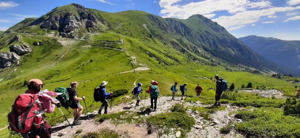
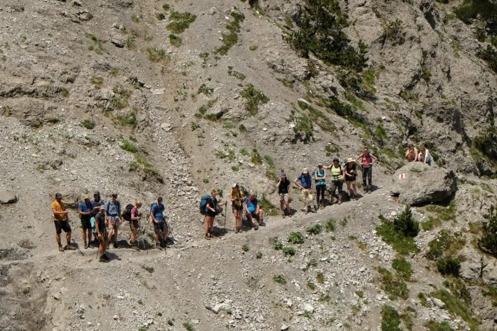
The PoB is rated moderate to challenging. There is no climbing or exposed scrambling on the standard route, but stages are long: 14–28 km a day, 6–9 hours of walking, and often 600–1,200 m of ascent and descent. Paths are shepherds’ trails: rocky, uneven, sometimes steep and loose, with some marshy sections. The descent from the Peja Pass into Theth and the Valbona–Çerem high route are the toughest parts.
Waymarking is red-and-white. Albanian sections are well marked; parts in Kosovo and Montenegro need more attention, and fog can hide markers on the high pastures. Always carry the GPX track offline.
Training tip: build up to day hikes of 15–20 km with around 800 m of climbing, on consecutive days, in the boots you’ll wear on the trail.
Packing list
- Broken-in mid/high hiking boots (category A/B or B)
- Trekking poles, essential on long descents
- Waterproof jacket and warm layer (fleece, hat): evenings at Dobërdol are cold
- Sun hat, sunscreen, sunglasses
- Daypack 30–35 L with luggage transfer, otherwise 45–65 L (65–80 L if camping)
- Water filter or tablets, 2 L capacity
- Sleeping bag liner; blister kit and first aid
- Power bank, offline maps, printed permits, passport
- Cash in euros and lek
Safety
- Weather changes fast; thunderstorms and fog are common in the afternoon.
- Early season: snowfields on passes, swollen streams. Check conditions with your guesthouse.
- Mobile signal is patchy on the passes and absent in some huts. Download everything in advance.
- Helicopter rescue can take hours to arrive. Get insurance that explicitly covers trekking and mountain rescue.
- Shepherd dogs guard flocks: keep your distance, don’t run, use poles calmly.
- Use the summer route over the Valbona Pass; the winter route is closed in summer.
Respect the mountains
- Sleep and eat in registered guesthouses; it keeps the money in the villages.
- Carry out all waste; there is no collection in the high villages.
- Ask before photographing people.
- Stay on the trail across pastures and close gates behind you.
- Wild camping is not the norm; ask the families whose land you’re on.
On the trail
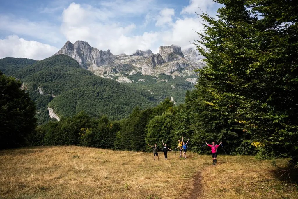
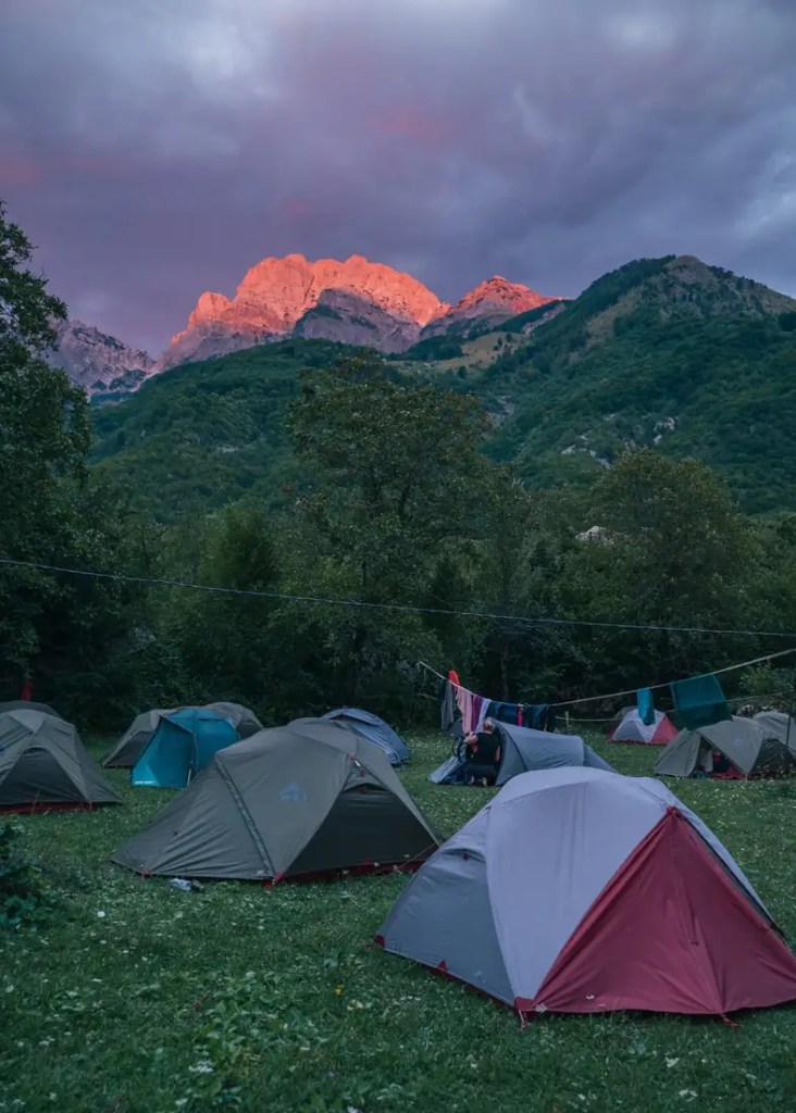
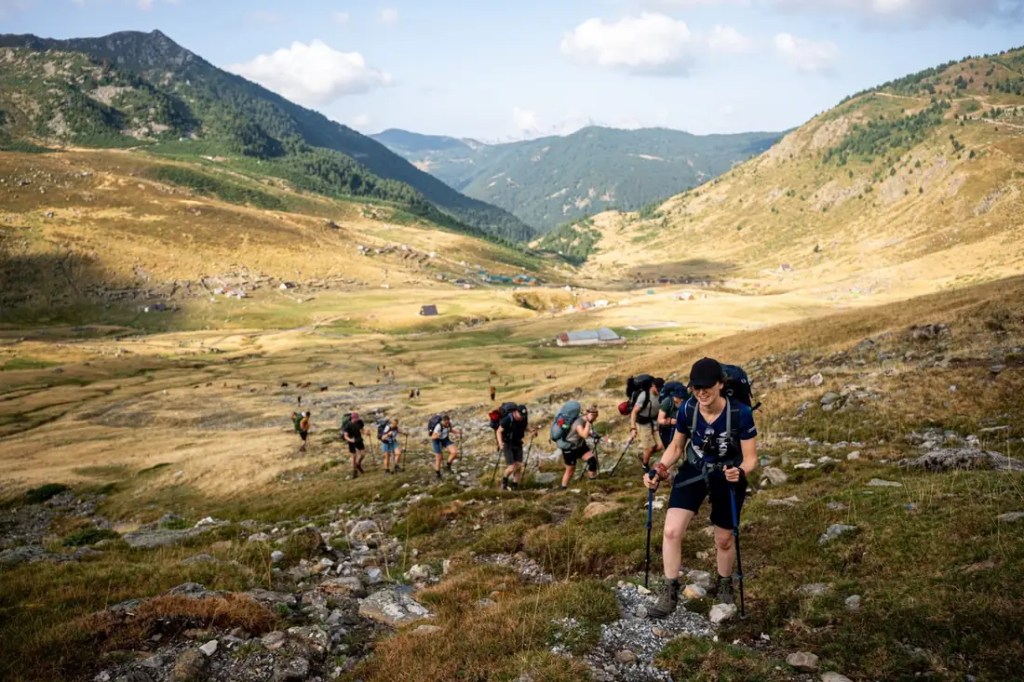
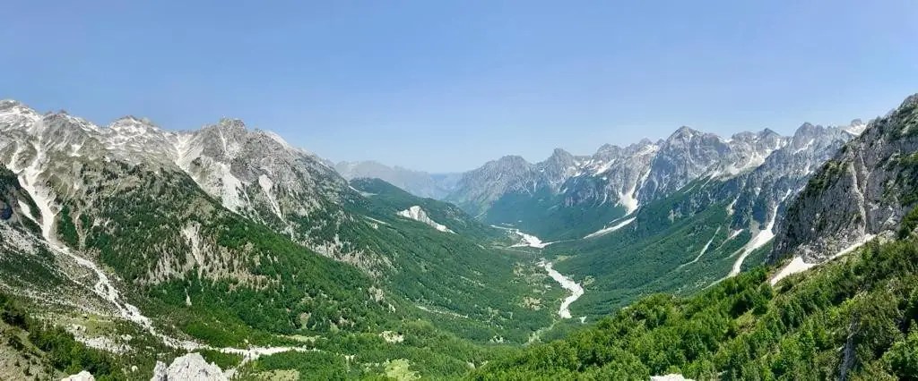
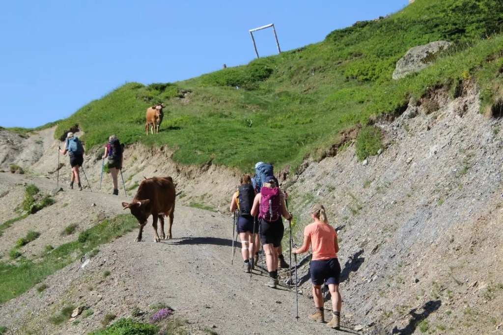
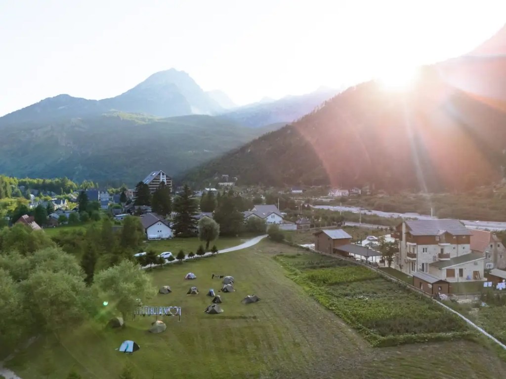
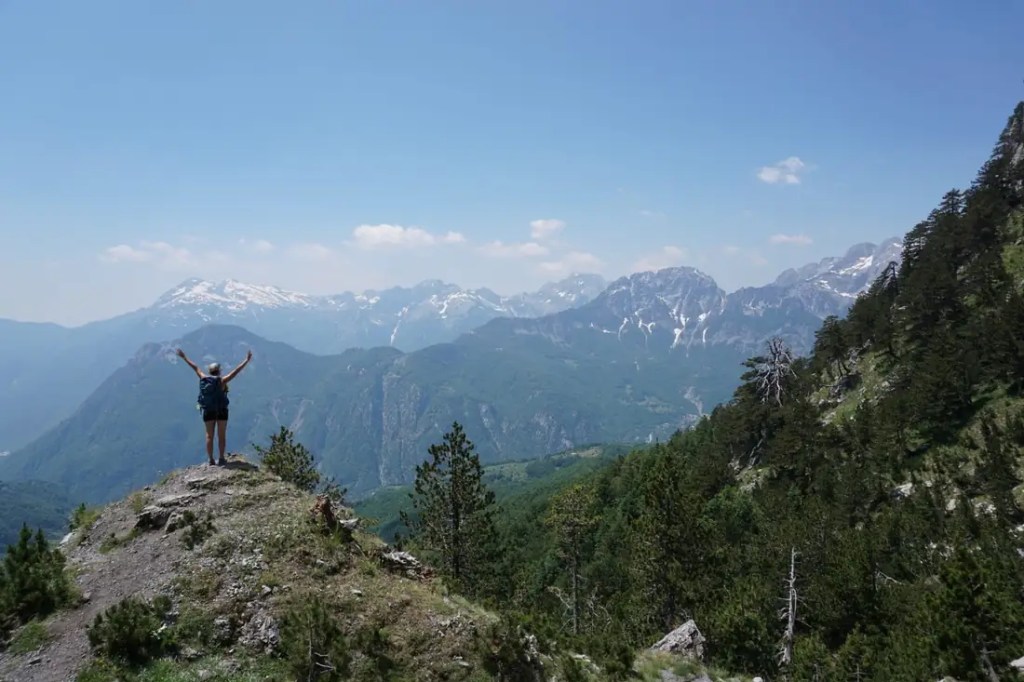
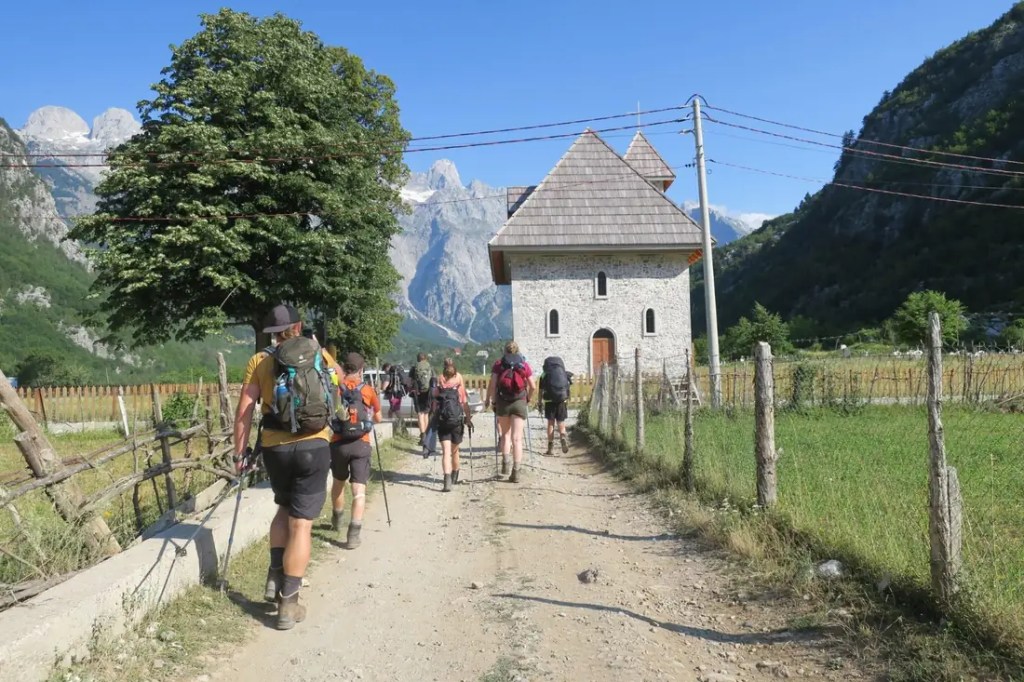
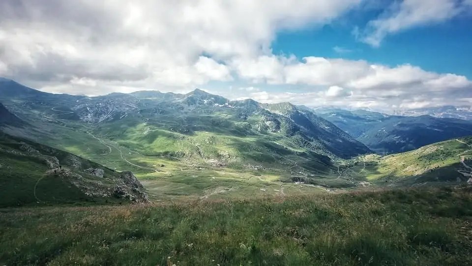
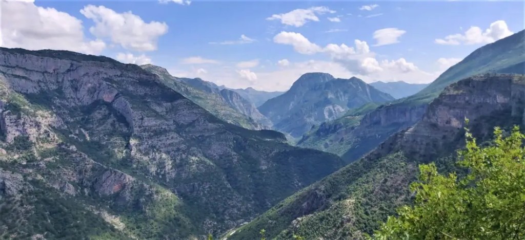
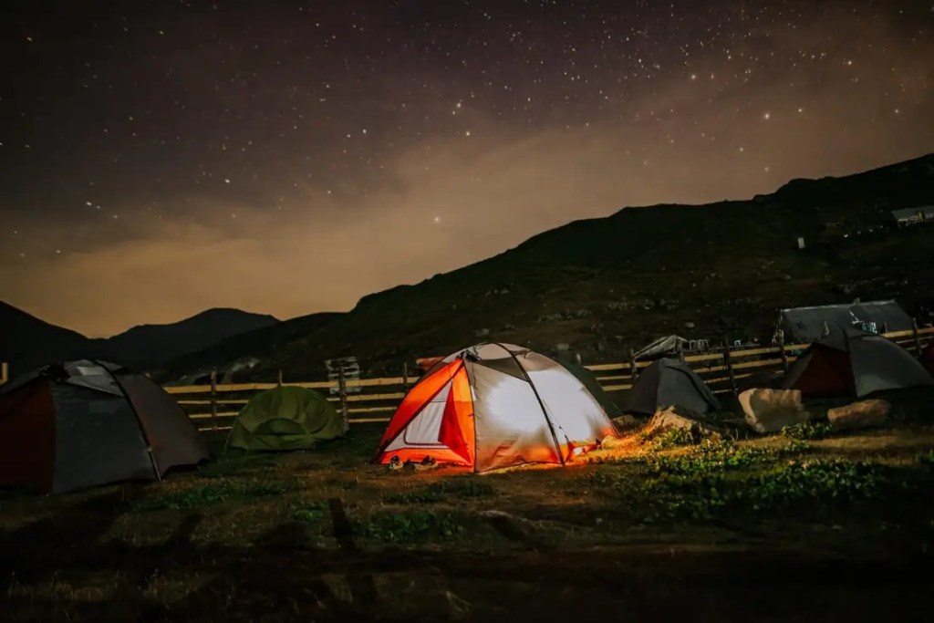
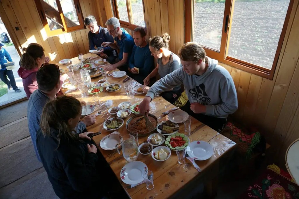
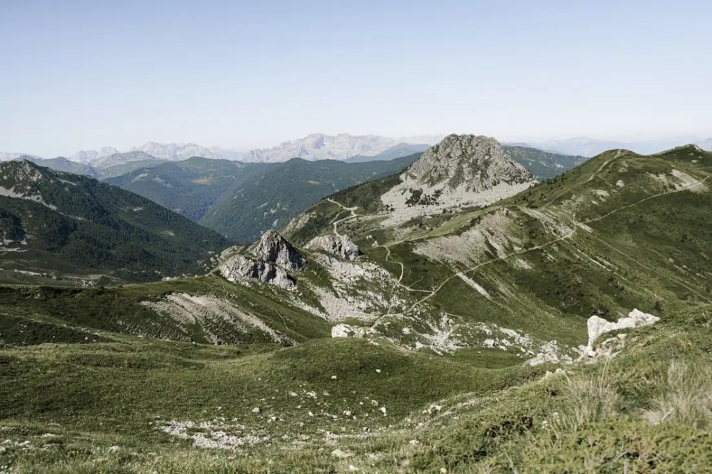
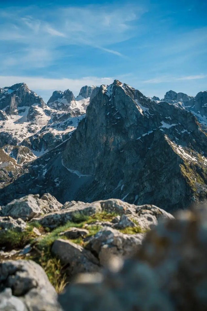
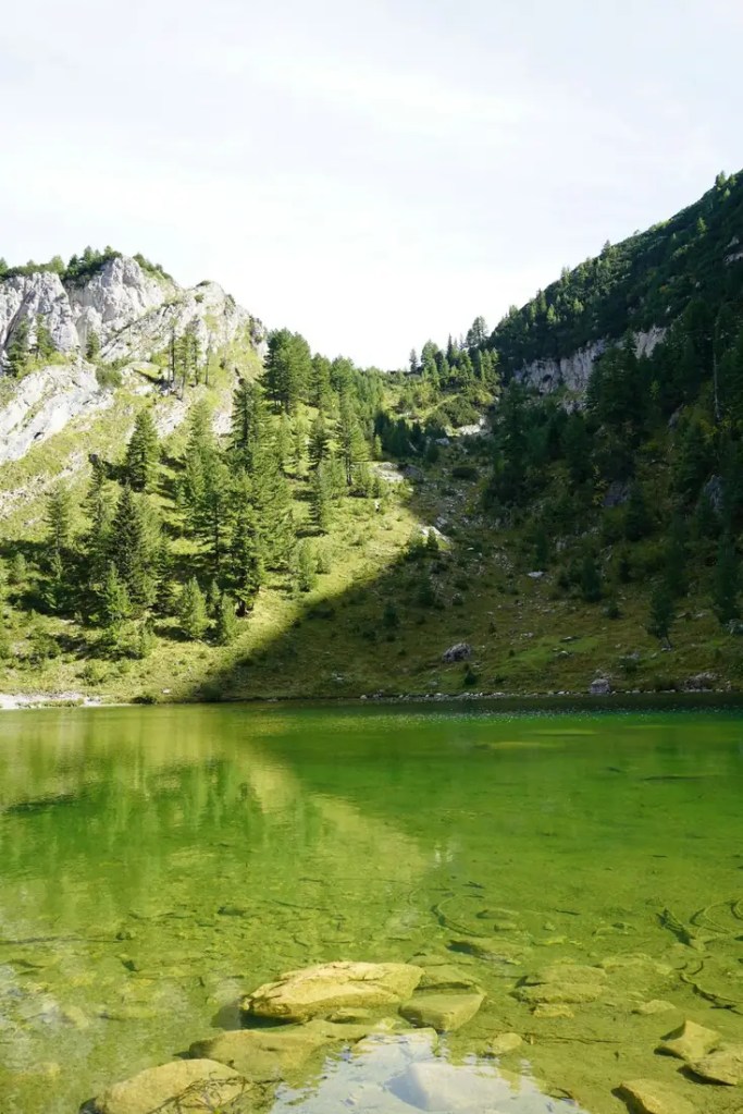
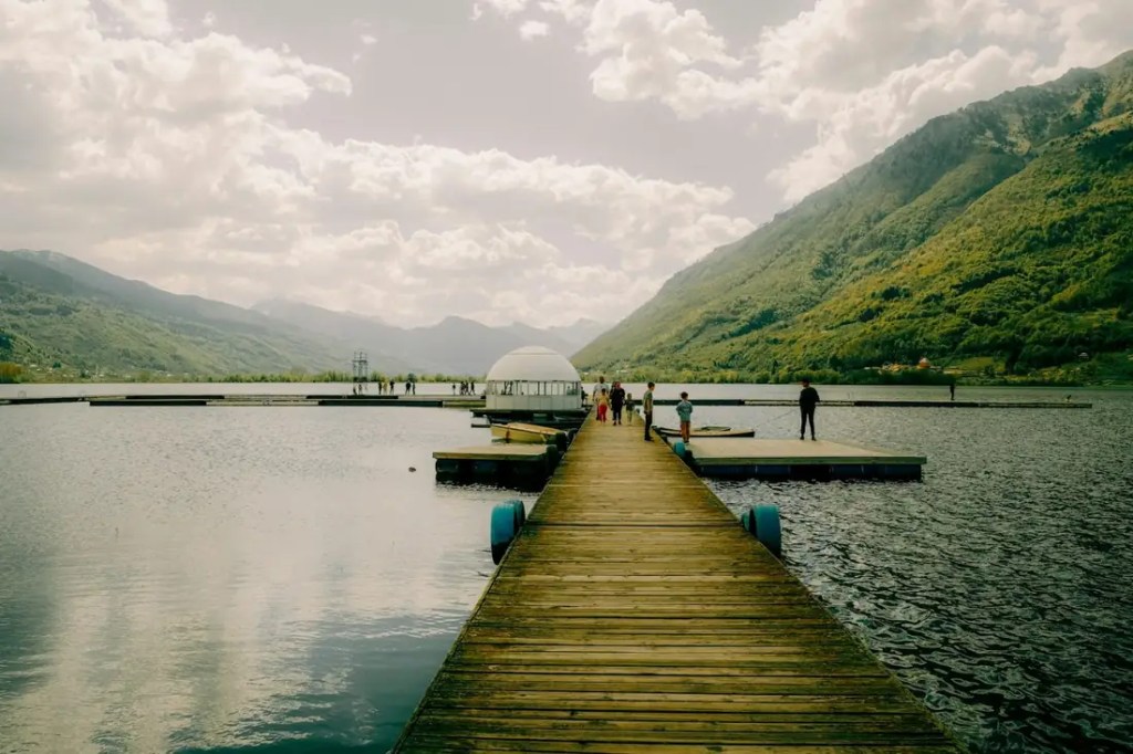
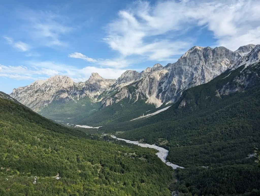
Photos: The Balkan Trail / Travelbase media library, and Unsplash where credited
FAQ
How long does the full trail take?
The classic loop is 10 stages over about 192 km. Fast hikers do it in 8 days; with a rest day in Plav or a side trip to Peja or Gjeravica, 11–12 days is comfortable. Shorter “best of” versions such as The Balkan Trail cover the highlights in 5 hiking days.Do I need a guide?Which direction should I walk?Do I have to carry my luggage?Do I need a visa?Which currencies are used?Is there drinking water on the trail?Is it safe?Where do I find maps and GPX tracks?
Book & plan
The Balkan TrailGuided 8-day trip, 5 hiking days, from €595. Pre-register for 2027.
thebalkantrail.comThe Balkan Trail (FR)French version of the booking site.thebalkantrail.com/frThe Balkan Trail (DE)German version of the booking site.thebalkantrail.com/deBalkan Natural Adventure10-day guided loop and self-guided packages.bnadventure.comASI Reisen8- and 12-day guided trips from Austria, German-speaking.asi-reisen.deWilderness TravelPremium 10-day hotel-based trip.wildernesstravel.comPeaks of the Balkans infoStage pages, map PDF, guesthouse list, permit service.peaksofthebalkans.infoOfficial route mapStage overview and downloadable map.peaksofthebalkans.info/mapBalkan Natural Adventure guideComprehensive trail guide, visa info and guided tours.bnadventure.comGIZ: the story of the trailHow the Peace Trail was built and what it brought the region.giz.deCicerone guidebookThe Peaks of the Balkans Trail by Rudolf Abraham.cicerone.co.uk
About this guide: made by Travelbase, the organiser of The Balkan Trail. Information about other operators comes from their own public websites. Compiled October 2026 from public sources. Prices, dates and permit rules change every season; confirm the details with your operator before you travel.
thebalkantrail.comGIZ – Peaks of the Balkans long-distance hiking trailpeaksofthebalkans.info – map & stagespeaksofthebalkans.info – permits guide 2026peaksofthebalkans.info – FAQpeaksofthebalkans.app – 10-day loop stagesBNA – border crossing permitsAlbania Spirit – trail guideBNA – 10 days guidedBNA – self-guidedASI Reisen – Peaks of the BalkansAlbania Visit – 8-day small groupWilderness Travel – Heart of the BalkansThe Gone Goat – self-guided trip report


Geef een reactie